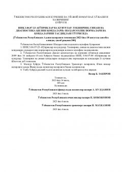
SHNK 3.06.07-23

Name in English:
SHNK 3.06.07-23
Name in Russian:
ШНК 3.06.07-23
Description in English:
Bridges and pipes. Rules for inspection, testing and diagnostics
Description in Russian:
Мосты и трубы. Правила обследований, испытаний и диагностики
Document status:
Active
Format:
Electronic (PDF)
Page count:
37
Delivery time (for English version):
8 business days
Delivery time (for Russian version):
5 business days
SKU:
SHNK 3.06.07-23